| Inheritance Walks Home |
| Welsh Walks Home |
| Bird Rock |
| Cwm Cau |
| The Tarrens |
| Fridd Coccyn |
| Geufron / Bryn Glas |
| Two Valleys |
| Dolgoch Falls |
| Cadair: From Llanfihangel y Pennant |
| Cadair: Fox's Path |
| Tyrau Mawr |
| Bryn Eglwys and Pont Llaeron |
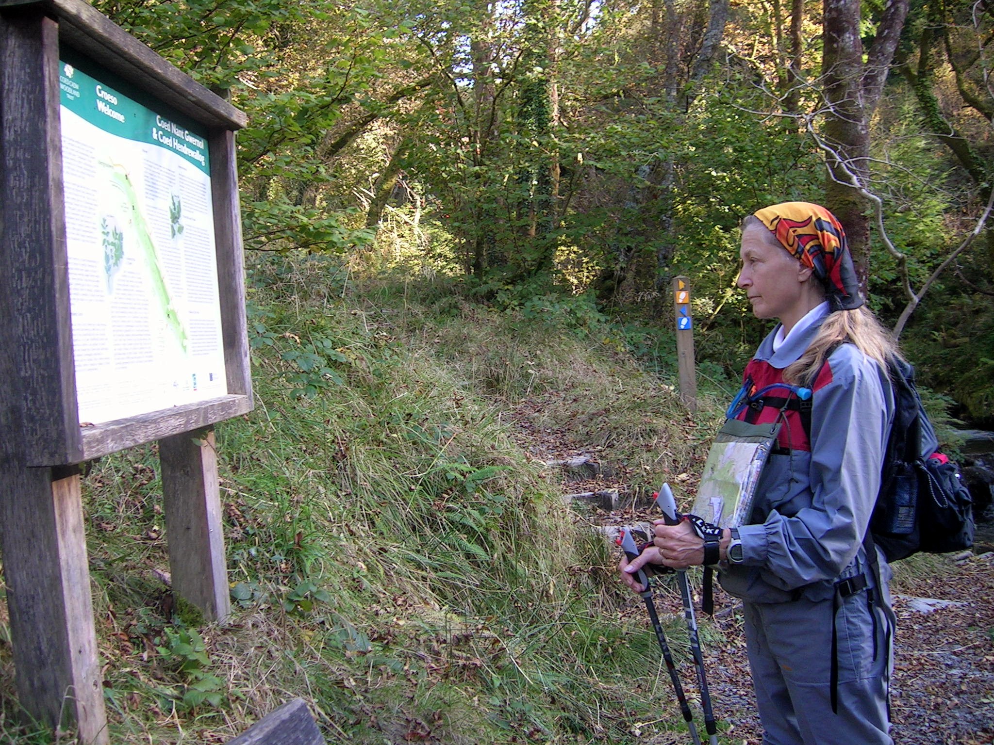
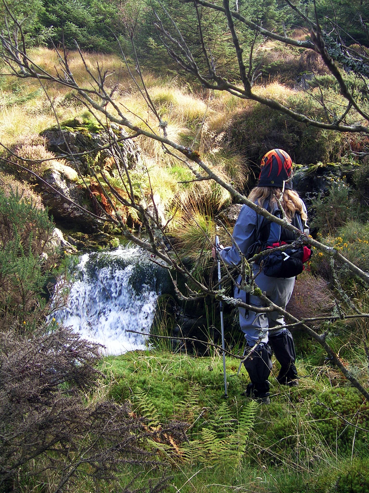
We can't recommend, on safety grounds, that you follow our path, but, if you take responsibility for yourselves, and want a totally magic trip, try following the stream. It was a very difficult scramble, and there were times when I wasn't sure where we were going, our how we were going to get there. We found the cache, using the clues (at least, the brave Susan did, who has now joined the e-leat!) reclined in the sun, and then returned by the proper path. Not so magical, but not so worrying, either. Park on the red circle below, and either load the GPX file into your GPS, or follow your nose! On the map below, park in the centre of Abergynolwyn and follow the road to the turning for Nant Gwernol, and then follow these points. Leave the road, and follow the track ont he right to Nant Gwernol Station. Cross the bridge over the stream. Turn sharp left, and go uphill tothe winding station. Follow the path up through the trees to the road. Keep right at this point. Do take care in the quarry, there are some VERY deep holes!
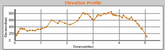
Bryn Eglwys Walk elevation
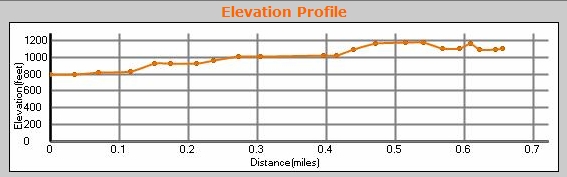
Extra elevation to get up to Pont Llaeron (note, this makes a total of 1200 ft, and the top bit is tough if you follow the stream bed, as we did, but quite easy of you follow the path!) |
|
To download GPX Files, right-click the link, choose Save Link As ..., and save it to wherever you keep route files.
See the documentation that came with your GPS for information on how to download the route to your GPS.
Other quarry pictures here.
These are a selection of Ordnance Survey Maps that cover this walk.
Geocaches on route
Blog
Pictures
(Click on thumbnails for full-size pics.)
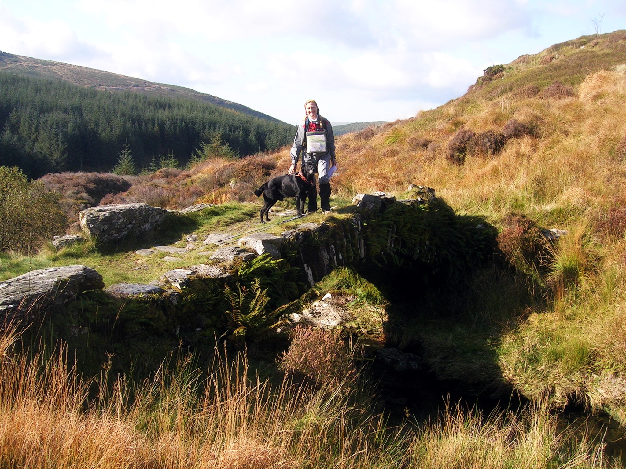
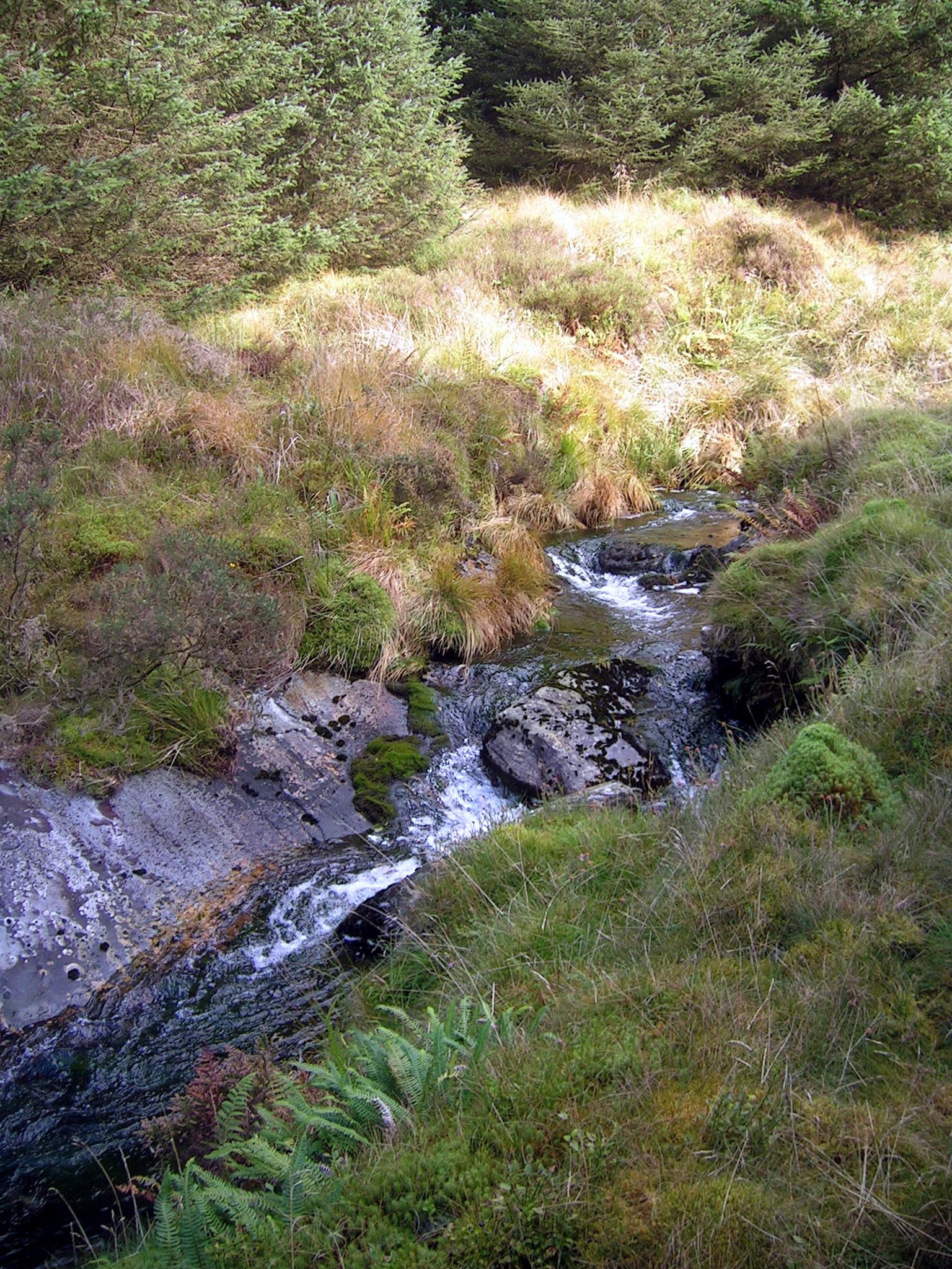
Clambering up the river bank
towards Pont Llaeron
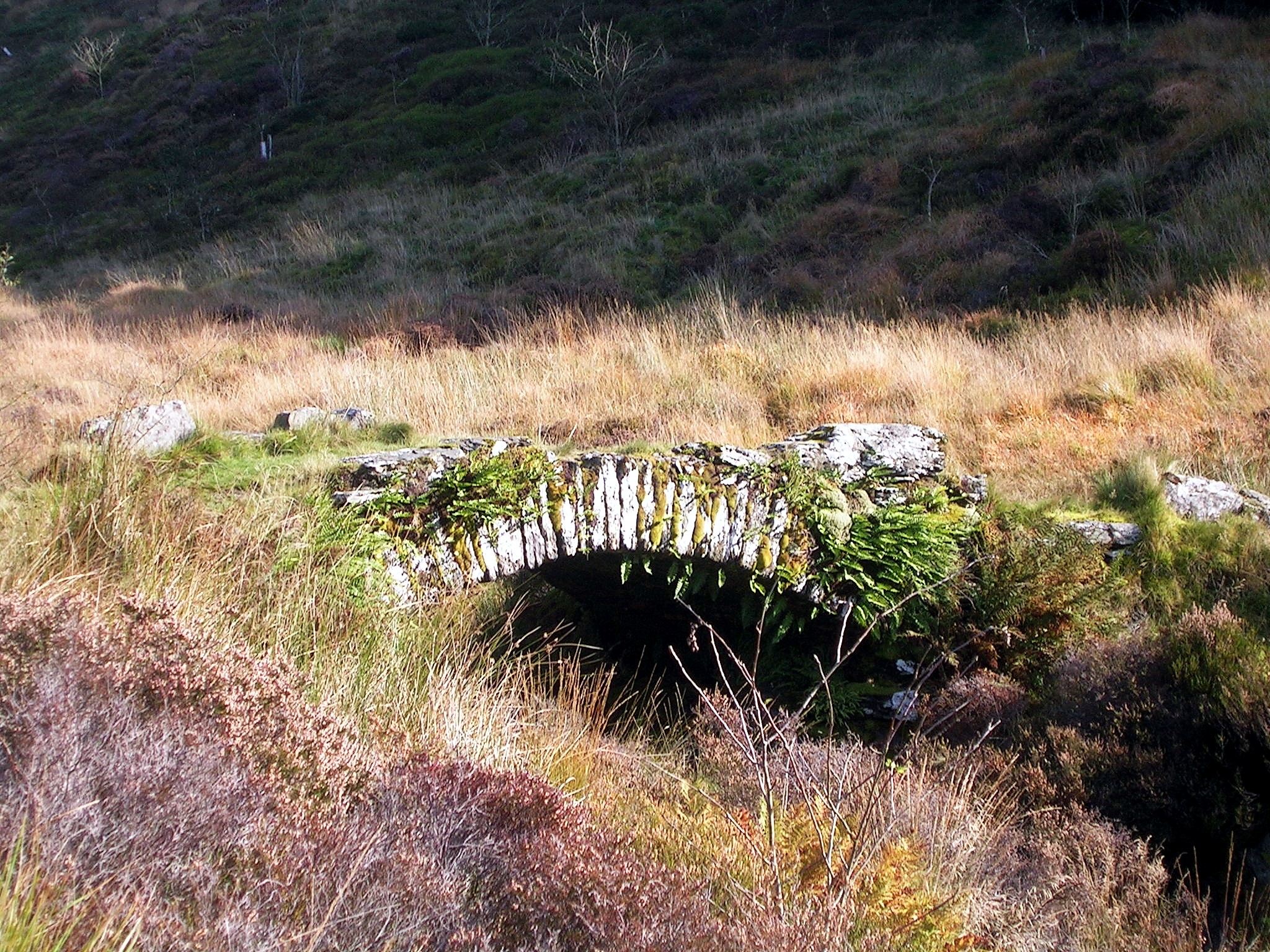
The Dam
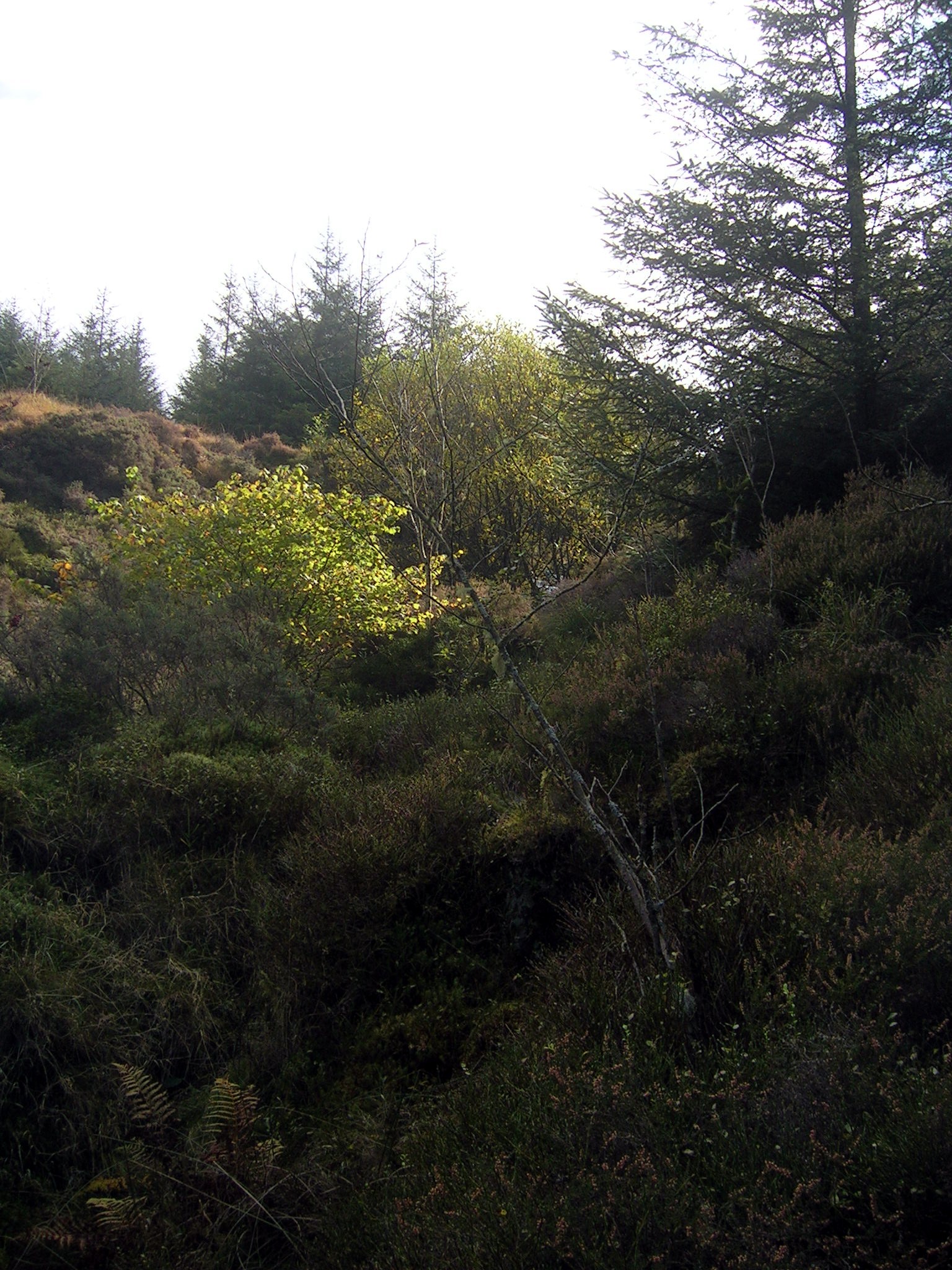
Above the bridge
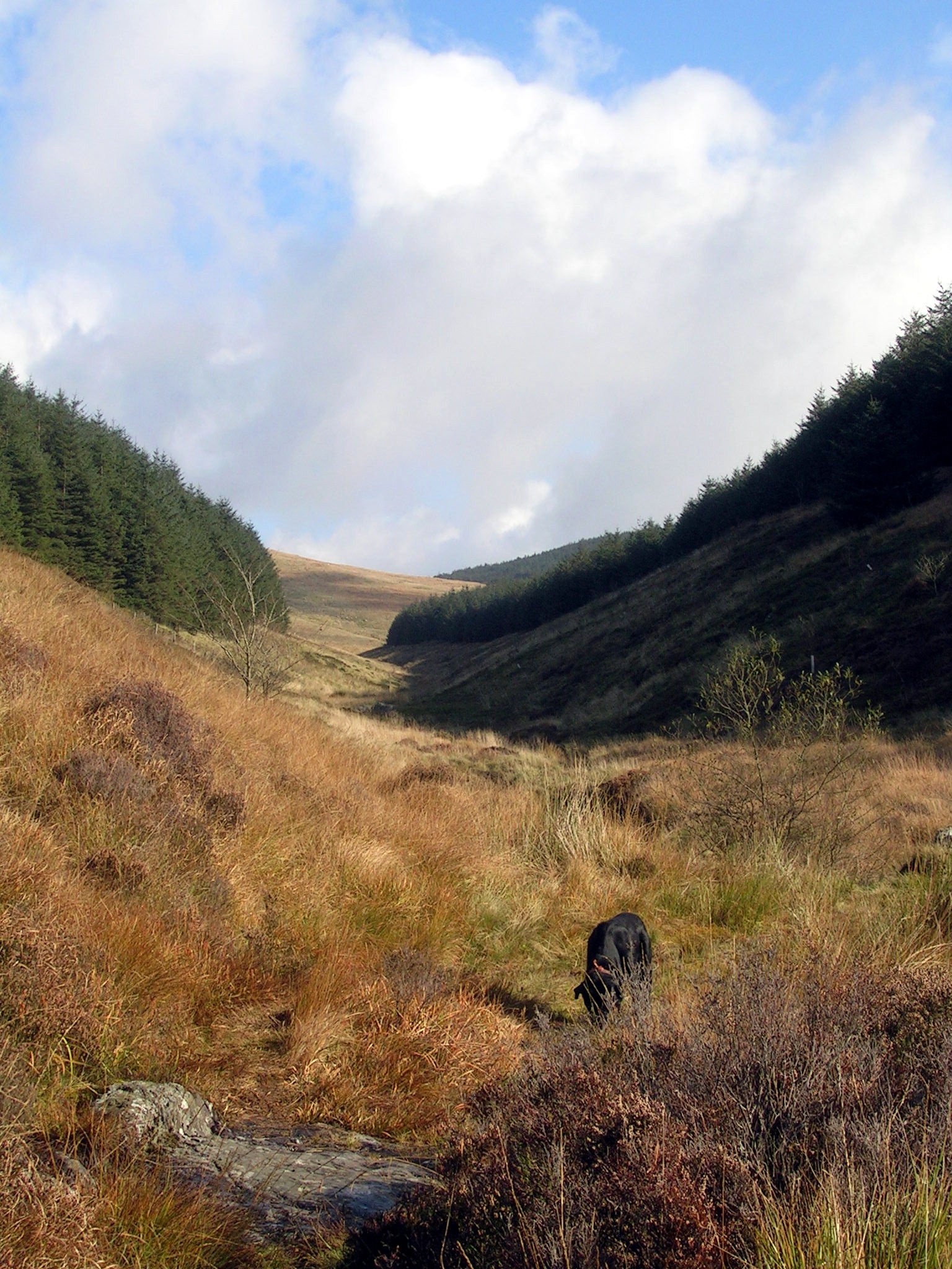
View down the valley from the cache
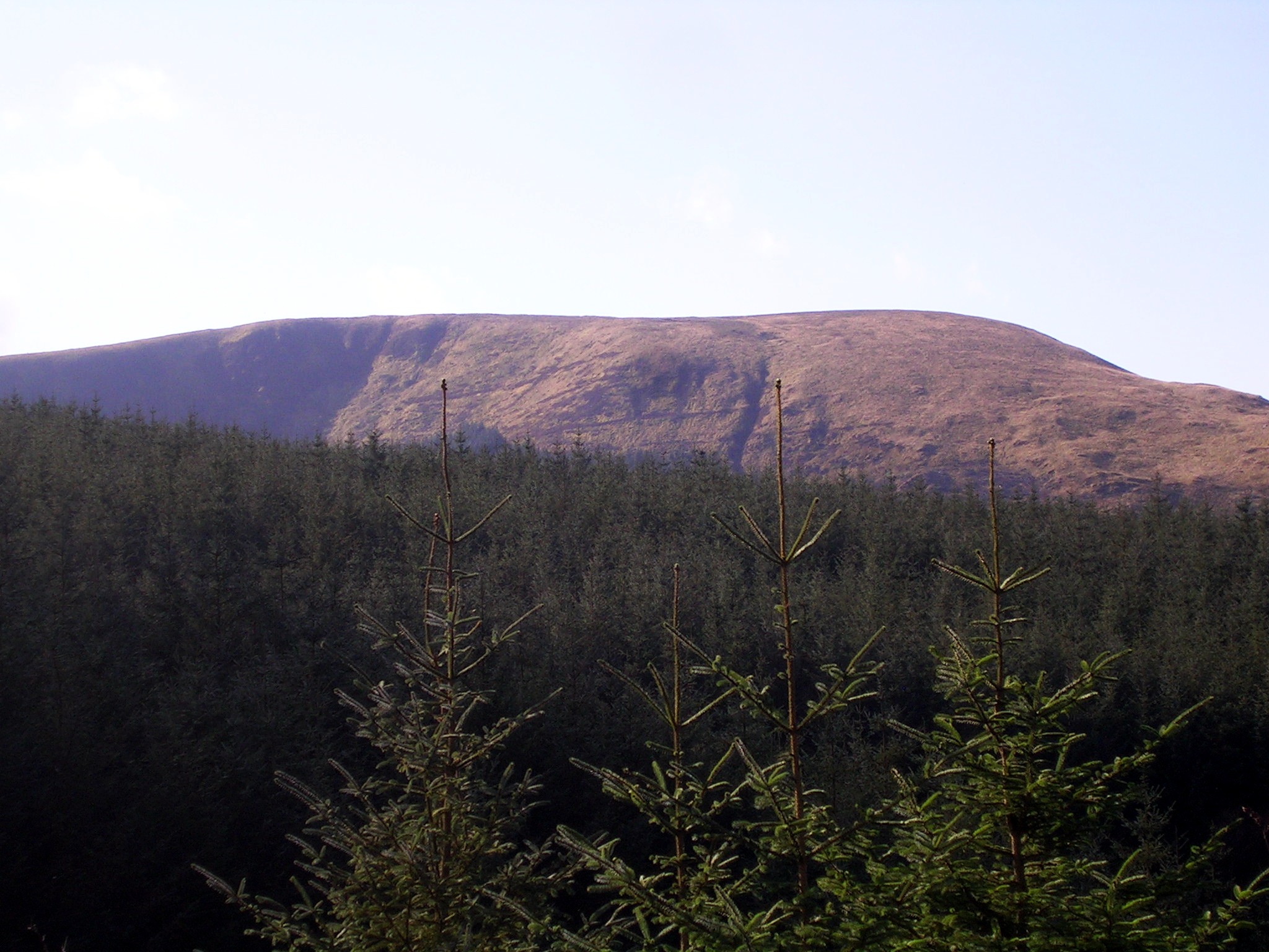
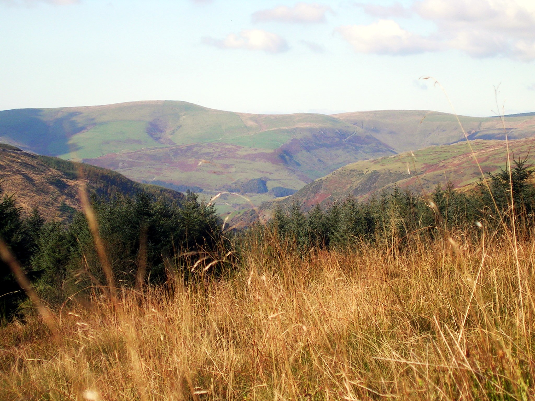
Tarren Hendre
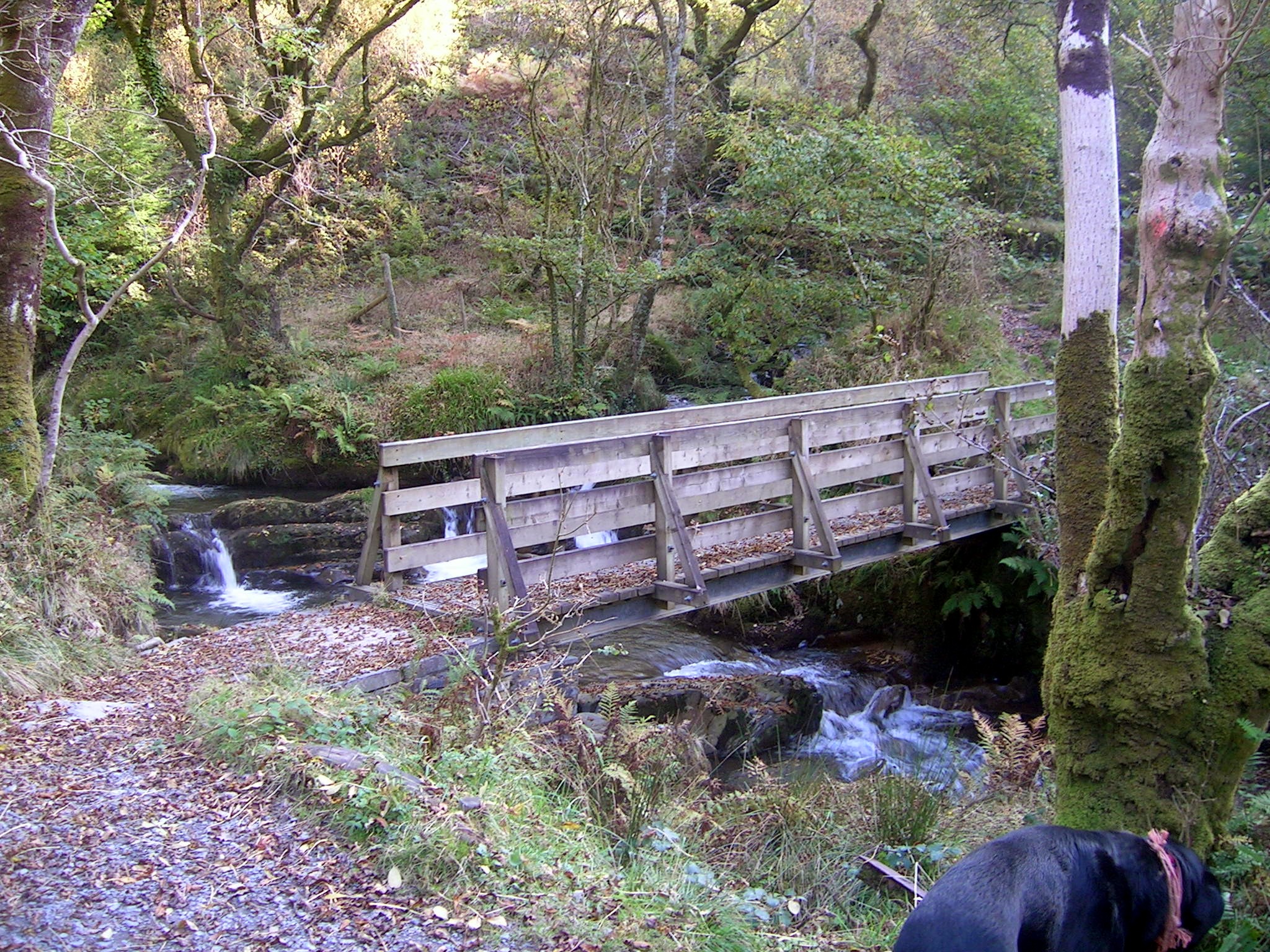
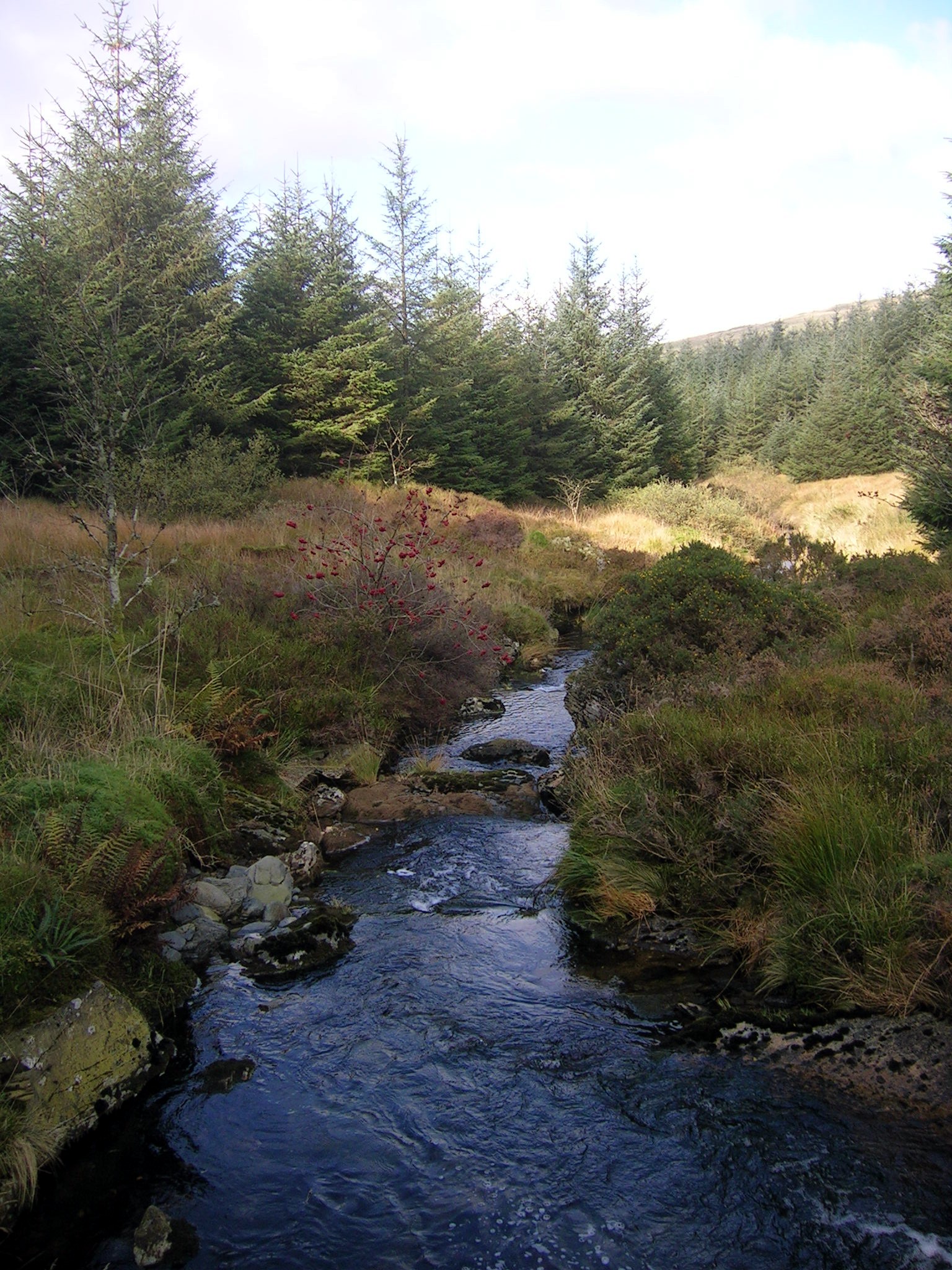
Bridge upstream from Nant Gwernol,
below Hendrewallog